
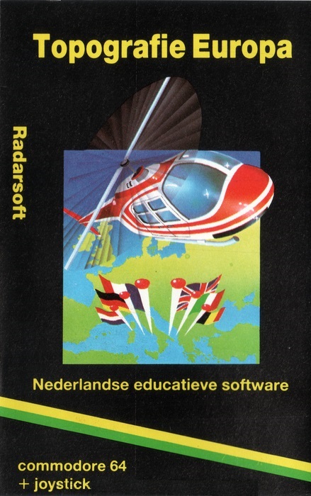
Maps Europe
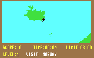
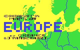
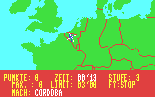
An educational computer game which teaches the locations and names of cities, towns, regions and rivers of Europe. There are 3 modes, which are Opzoeken (Look up), Overhoring (Quiz), Het Stedenspel (The City Game). The game contains a mid 1980s map of Europe, as evidenced by countries such as East Germany, West Germany, Yugoslavia and Czechoslovakia. It contains many names and locations of cities, rivers and seas. In Look Up mode you can type the name of a city or sea and the game will point it out on the map. In Quiz mode, the game will point a randomly selected place and the player must type in the name on time. The helicopter mode is the main part of the game. The player controls a helicopter and must fly to a randomly selected city or location before the time runs out. When the helicopter is close enough to the target city or location, it will turn into a pulsating red dot. Additionally there is an information browser which shows data per country or a bar graph comparing all countries. The data includes the area in square kilometers, population, agriculture, industry and service industry data.
AI 유저 감성 및 재미 분석
"아직 유저 리뷰 분석이 없습니다."
Latest Posts
Detailed Description
Latest Resources
Latest News
Genres & Categories
Screenshots
Maps Europe FAQ
What is the GameWorld (gS) score of Maps Europe?
Maps Europe has a GameWorld (gS) score of 64 out of 100, aggregated from Steam, IGDB, Metacritic and more.
What genre is Maps Europe?
Maps Europe is a Education game.
Who developed Maps Europe?
Maps Europe was developed by Cees Kramer, John Vanderaart and published by RadarSoft, Edizione Logica 2000, Ariolasoft.
Does Maps Europe support multiplayer?
Maps Europe supports single-player.
Where can I find guides, Korean patches and downloads for Maps Europe?
On the Maps Europe page at GameWorld you can browse community guides and download resources (Korean patches, trainers, save files and more), or upload your own.